Jack B. Reid
jack@jackbreid.com
Github profile: jackreid Hosted on GitHub Pages — Theme by mattgraham
Impact of the 2022 tropical cyclone season on southeast Madagascar
February 2022 to present
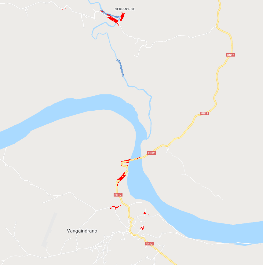
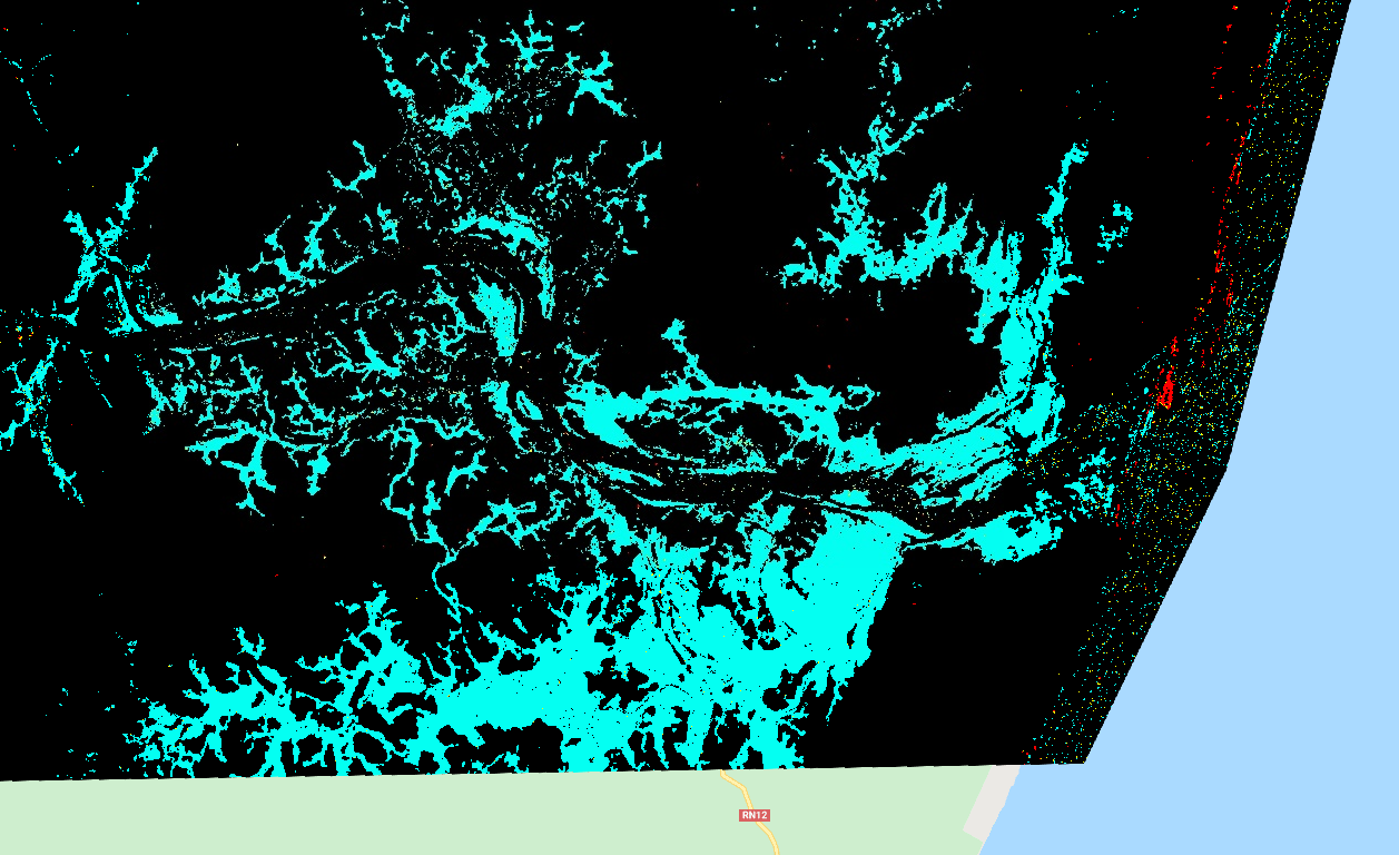
In January and February of 2022, southeastern Madagascar was hit by two tropical cyclones. This prompted Prof. Brian McAdoo of Duke University to reach out to us about a collaboration. This is an early stage project to use a variety of data sources, including synthetic aperture radar and visual imagery, to identify areas of flooding, blocked roads, and salt-inundated farmland.
For a prototype visualization, see: https://jackreid.users.earthengine.app/view/madagascarjan-febcycloneroads.
More details are available in our NSF RAPID application.

